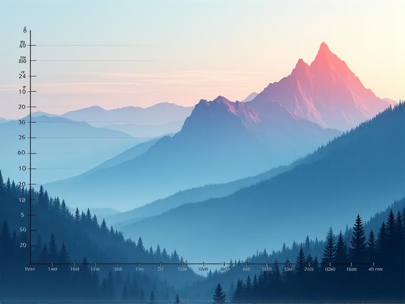
Altitude vs. Density Correlation Charts
Understanding the Relationship Between Altitude and Air Density
Altitude and air density share an inverse relationship critical to fields like aviation, meteorology, and environmental science. As elevation increases, atmospheric pressure decreases, leading to thinner air. This correlation isn’t linear but follows a logarithmic pattern, influenced by temperature, humidity, and geographic location. Charts plotting these variables reveal how rapidly density drops—a key insight for engineers designing aircraft or scientists modeling climate patterns. Without grasping this dynamic, advancements in high-altitude technology or weather forecasting would remain grounded.
The Science Behind Air Density and Atmospheric Layers
Air density, measured in kilograms per cubic meter (kg/m³), depends on molecular composition and pressure. The troposphere, where most weather occurs, sees density drop by approximately 12% per 1,000 meters gained. This decline stems from fewer molecules occupying the same volume as gravity’s pull weakens with height. Temperature inversions—such as those in the stratosphere—can temporarily stabilize density, but the overall trend remains downward. Tools like the barometric formula quantify this relationship, factoring in constants like the universal gas law and gravitational acceleration.
How Altitude Shapes Air Density: From Sea Level to Stratosphere
At sea level, air density averages 1.225 kg/m³ under standard conditions. By 5,000 meters—the elevation of Mount Everest’s base camp—density halves to roughly 0.66 kg/m³. Commercial jets cruising at 10,000 meters encounter densities around 0.3 kg/m³, forcing engines to compensate with higher thrust. These shifts aren’t uniform; cold polar regions retain denser air at higher elevations compared to warmer equatorial zones. Such variability explains why high-altitude engines require adaptive designs to maintain efficiency across climates.

Creating Accurate Altitude-Density Correlation Charts
Building precise charts requires synthesizing data from radiosondes, satellite telemetry, and atmospheric models. Python libraries like Matplotlib or Plotly enable dynamic visualizations, incorporating real-time variables such as humidity. For instance, a 1% increase in humidity at 2,000 meters can reduce density by 0.03 kg/m³. Annotating these charts with isobars (lines of equal pressure) and isotherms (temperature contours) adds depth, revealing microclimates or turbulence-prone zones. Open-source datasets from NOAA or NASA ensure accessibility for researchers and hobbyists alike.
Visualizing Data: Techniques for Clear and Engaging Charts
Effective altitude-density charts balance simplicity and detail. Heatmaps using viridis or plasma color scales highlight gradients without overwhelming viewers. Interactive elements—sliders for temperature adjustment or toggleable humidity layers—let users explore scenarios. For print, monochromatic contour lines with labeled intervals maintain readability. Case in point: the FAA’s density altitude charts for pilots employ bold, high-contrast shading to denote critical thresholds where aircraft performance plummets.
Applications in Aviation and Aerospace Engineering
Aircraft lift depends on air density: a 10% drop requires a 12% increase in takeoff speed. Engineers use altitude-density charts to optimize wing shapes and turbine designs for hypersonic jets or Mars rovers, where atmospheric conditions differ wildly. During SpaceX’s Starship tests, real-time density data informed throttle adjustments during ascent. Similarly, drone operators rely on these charts to predict battery drain in high-altitude deliveries, ensuring payloads reach their destinations.
Climate Science: How Density Changes Influence Weather Patterns
Declining air density at altitude affects global heat distribution. Less-dense air holds less moisture, amplifying arid conditions in high-altitude deserts like Tibet. Climate models incorporating density shifts predict intensified jet stream meandering, linked to extreme weather events. For example, thinner air over warming Arctic regions may accelerate polar vortex disruptions, triggering colder winters at mid-latitudes. Monitoring these trends through density-altitude charts helps policymakers prepare for cascading ecological impacts.
Tools and Technologies for Real-Time Density Altitude Calculations
Modern pilots use integrated EFBs (Electronic Flight Bags) with apps like ForeFlight, which pull density altitude data from nearby weather stations. IoT-enabled sensors on mountains or drones stream updates to platforms like AWS IoT Core, enabling dynamic chart recalculations. For hikers, Garmin watches incorporate barometric altimeters to estimate air density impacts on endurance. These tools democratize access to what was once a niche scientific metric, empowering safer adventures and smarter designs.